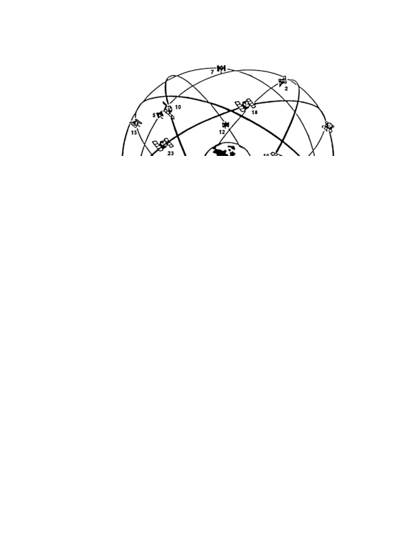
Figure 1 2. GPS Satellite Constellation
The satellites transmit ranging signals on two D band frequencies: Link 1 (Ll ) at 1575.42 MHz
and Link 2 (L2) at 1227.6 MHz. The satellite signals are transmitted using spread spectrum
techniques, employing two different ranging codes as spreading fictions, a 1.023 MHz
coarse/acquisition code (C/A code) on L1 and a 10.23 MHz precision code (P code) on both L1
and L2. Either the C/A code or the P code can be used to determine the range between the
satellite and the user, however, the P code is normally encrypted and available only to authorized
users. When encrypted, the P code is known as the Y code. A 50 Hz navigation message is
superimposed on both the P(Y) code and the C/A code.
The navigation message includes
satellite clock bias data, satellite ephemeris (precise orbital) data for the transmitting satellite,
ionospheric signal propagation correction data, and satellite almanac (coarse orbital) data for the
entire constellation. Refer to paragraph 1.4 for additional details regarding the ranging codes and
navigation message.
1.2.2
Control Segment
The Control Segment primarily consists of a Master Control Station (MCS), at Falcon Air Force
Base (AFB) in Colorado Springs, USA, plus monitor stations (MS) and ground antemas (GA) at
various locations around the world. The monitor stations are located at Falcon AFB, Hawaii,
1 3
<< < GO > >>